Wilderness Land Nav - Level 1 - 3 Day
Description
Learn how to use your compass and maps to navigate anywhere in the world.
This course will increase your ability to safely navigate in, and out, of a wilderness using a map, compass, and GPS technology.
This course will cover all of the fundamentals that one needs to safely and effectively navigate with a map and compass. We will start by considering maps and what information they can give us. We will then consider compasses and how to choose a good one for your particular use.
The best way to do survival is not to get lost in the first place.
This is the cornerstone class for those that want to be able to navigate with map and compass. We will take an incredibly in-depth look at map reading skills, such as:
- Understanding the various map options that are out there and which ones are useful, and which ones are not.
- We will look at the color schemes of various maps and how to read them.
- We will go over the use of the scale and how to use other items to transfer it to straight and curve line distances.
- We will also consider gridlines reference systems. Which ones are best for military/law-enforcement, SAR, and general public use.
- You will get an in-depth understanding of how to source the best free and paid version of topography maps.
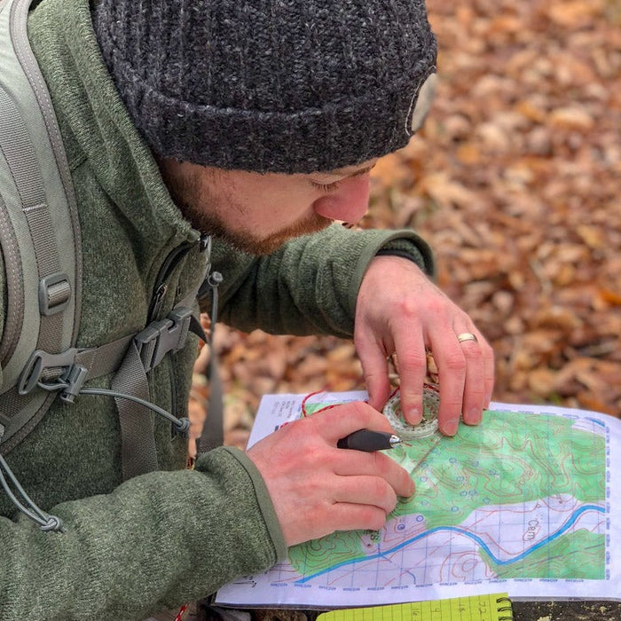
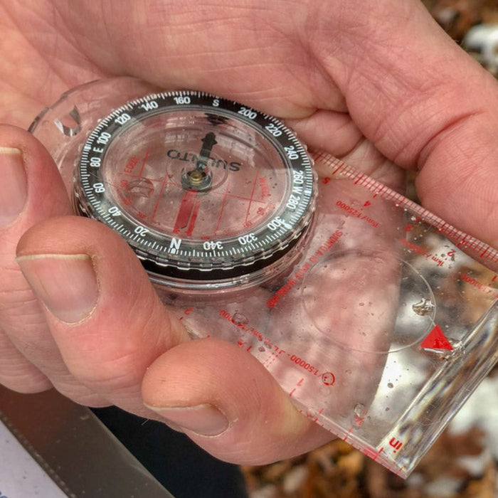
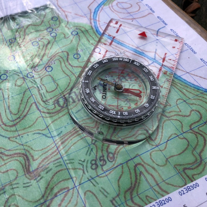
- We will also study compasses and use them with our maps.
- What compass options are available and which one is best for your use.
- We will teach you how to use the compass on the map in a classroom setting first.
- This will cover things such as determining angles, distances and more. This will definitely include a section on how to make understanding declination and the various "North" easy.
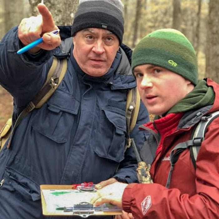
Once you are sufficiently trained in the classroom setting, we will have field courses setup that increases in difficulty so that you can grow into them. This will include the open field navigation with map and compass, forest and hill navigation and also nighttime navigation.
Other important info covered in class
- Developing a useful pace count
- The best apps to use and how to use them in concert with other land navigation skills and equipment.
This class will end with mock scenarios so you practically put into practice and develop your land nav skill set.


