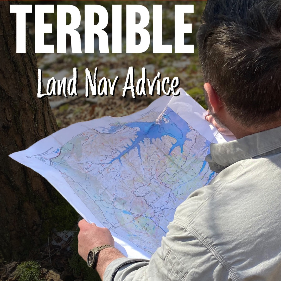
One of the funnest (note this is a sarcastic statement) parts of writing a book is going through the editing process with an editor. When we were putting Essential Wilderness Navigation my editor, who was actually very easy to work with, determined there were various sections of the book that needed to be completely removed. What you have in this blog piece is one of those sections. What I was attempting to do was bridge the gap between a normal everyday person in the world into a person that could understand navigation using map and compass. Understanding direction is part of that. I hope you find it useful to bridging the gap for you, despite the fact that she did not find it useful. Note she is not an outdoorsy person, but knows how to put a book together really well. The title of this blog makes it sound like terrible advice. I still dont think it is, I used that title to grab your attention. Sue me for tricking you into getting free information. :) So enjoy this look at bridging the gap.
Look at the bottom of this blog piece, we have some online and in-person classes that are available and coming up that you may want to attend on the topic of land navigation. You can find links for those, below this section.
----------------------------------------------------------
To further enhance your family’s involvement, including kids, you can regularly ask them or yourself questions such as:
- Which direction do I go to go to the grocery?
- Which direction is the school located?
- Is our backyard North of the house?
These are simple ways to get yourself and those you live with to begin thinking in terms of directions listed as north, south, east or west rather than left or right. While that may not seem important, it most certainly is. By doing this, when you leave the house you will start to have a better sense of direction.
Another way to develop your sense of direction is to relate your vehicle travel to wilderness foot travel. The interstate system of roadways is an excellent way to utilize something you are already comfortable with and develop skills with it, that you then take those skills with you in the woods. Here are a few examples:
- Recognize that all even numbered interstates and state highways (I-64 for example) run in an east-west direction and that odd numbered interstates (I-75 for example) run north-south. Each time you want to travel along an interstate consider which direction it is traveling. Discuss this with everyone in your family.
- Look at an online map or a map booklet (see sidebar for our favorite). By doing this on your travels you can note the names of rivers, forests, and mountains that you encounter along the way. This also helps to develop a sense of direction along the interstate routes. It should become obvious that if you are driving northbound on an odd-numbered interstate that the things you encounter on your right will mostly be in an easterly direction.
- Use the exits and mile markers to help you start to more accurately judge distances. When your GPS assistant comes on and advises you are two miles from your next exit. Look up and see that distance. Utilizing a GPS receiver you can do this at any point. As an example, you can ask your co-pilots to guess the distance from where you currently are to an exit, to a topographic feature, etc. You then can utilize your GPS receiver to give an accurate distance. An even better method is to utilize a paper map, and measure the distance using the methods we discussed in Chapter X. Then compare that to the guesstimate you made of what you were seeing. This will enhance both your ability to measure on the map and to approximate distances visually.
When you are traveling consider what it would be like if something very large scale happened (a severe earthquake is an example) and you had to walk back home. This is not likely to happen but it provides you a reason to force you to consider things you don’t normally consider along the way of traveling.
- Did you go across any bridges that if they fell you would have difficulty getting back home?
- Are there areas that if you had to camp next to the road that it would be dangerous due to wildlife? Is there a different direction you could go to be safer?
- How many turns and exchanges of interstates have you made along the way. Could you remember the directions to go if you had no map?
- Can you guess the time of day based upon the sun’s placement in the sky and your direction of travel?
By understanding how road signs can help us with road navigation we can easily transfer that mindset to trails in a wilderness. There are also signs in wilderness areas that are man-made. Some of these are purposely put there by divisions of federal, state or local natural resources. Others are put in an area by private entities. A few others are made on the spot as trail markers. In this section, we want to help you understand all of them.
- Signage - signs in the wilderness range from directional signs, pointing to different features to distance signs telling the backcountry enthusiasts how far the next important feature is. Many of these are placed by the entity purposed with managing the area in which they are found.
- Paint – many public entities, divisions of forestry, and private landowners use paint on trees to mark trails and boundary areas.
- Metal/Plastic badges – many of the national recreation trails now use badges that are nailed to trees. The nails are placed loosely so the tree can grow and the badge not be swallowed into the growth rings.
- Ribbon – ribbon comes in many colors and is often used as a temporary marker. Foresters, biologists, and surveyors use it regularly to mark areas they are surveying or studying. Since it is easy to use and carry many hikers and hunters also utilize it to mark trails to stands, or areas of interest. We recommend you not use it for this purpose and instead use methods that we have taught in this book. We also recommend that you not follow these sorts of trails. Ribbons can easily fall and a trail can then be easily lost.
- Blazes – blazes are marks that are put onto trees and used as trail markers. This is another form of signage that we don’t recommend being done haphazardly but is still `regularly seen on many trails. When done properly these do not negatively affect trees. If you are not familiar with this practice you should also know that a small blaze cut onto a tree will often heal over in a season. Therefore, requiring another tree tobe cut. It is best to find alternative means to mark trails if you are considering it. Since these are easy for officialpersonnel to use on government-owned land you will see them used often.
- Cairns/Sticks – often times hikers and backpackers will utilize piles of rocks called cairns or the placement of sticks to provide a direction or marker. These can be as simple as a pile of rocks that help the user to find the trail or an arrow made of sticks on the ground.
----------------------------------------------------

Leave a comment